The Registered Plan of Subdivision

Protect Your Boundaries has a variety of different surveys available for sale. When you are browsing our site, you might come across something called a Registered Plan and wonder if this is the right product for you.
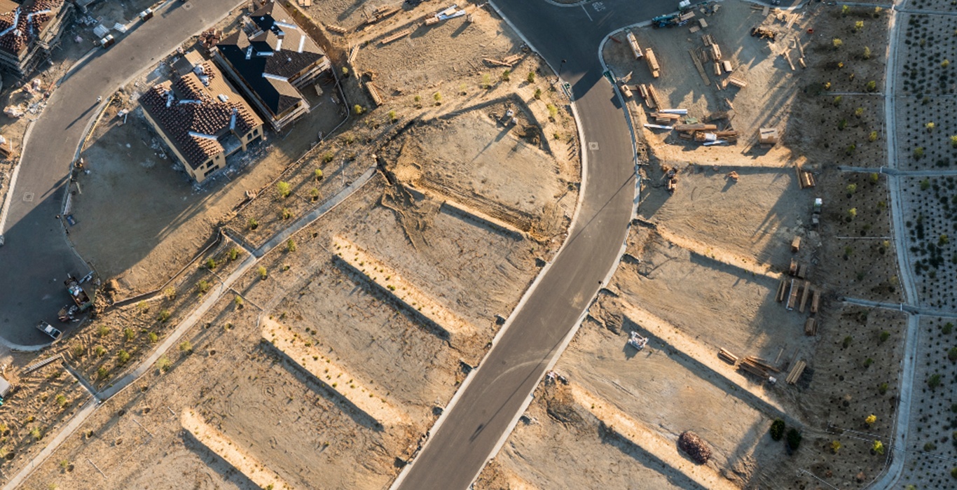
What is a Registered Plan?
Registered Plans are also known as Subdivision plans and are used by builders to show an overview of what a development will look like once the larger plot of land has been divided. The most recognizable form of a registered plan is farmland that has been severed multiple times to form a subdivision for housing. This gives someone a bird’s eye view of where the new property boundaries will be once the land has been divided.
Registered Plans will show indicators such as:
- Lot Measurements
- Roads
- Community Buildings & Areas (Parks)
- Commercial Buildings
Registered Plans WILL NOT show:
- Buildings and Structures
- Fences
- Setbacks
- Title Information
Registered Plans are generally not used for real estate transactions or permit applications as they generally do not provide the enough detail or information to. For real estate transaction and permit applications you should obtain a Surveyors Real Property Report (SRPR).
Type in your address to see if we have an SRPR available for your property:
Can Homeowners use a Registered Plan?
Subdivision Plans are usually only useful to a homeowner looking to confirm property dimensions. For this reason, we do not recommend subdivisions plans if you are looking to confirm your boundaries or applying for a building permit. Homeowners looking for a Survey Plan to complete a permit application should check with their municipality for survey requirements before purchasing a plan.
If you still have questions or are not sure what plan is right for you, feel free to contact our office or visit our website at www.ProtectYourBoundaries.ca for more information


Protect Your Boundaries Inc. is a licensed member of the Association of Ontario Land Surveyors, and is entitled to provide cadastral surveying services to the public of the Province of Ontario in accordance with the provisions of the Surveyors Act R.S.O. 1990, Chapter S29.