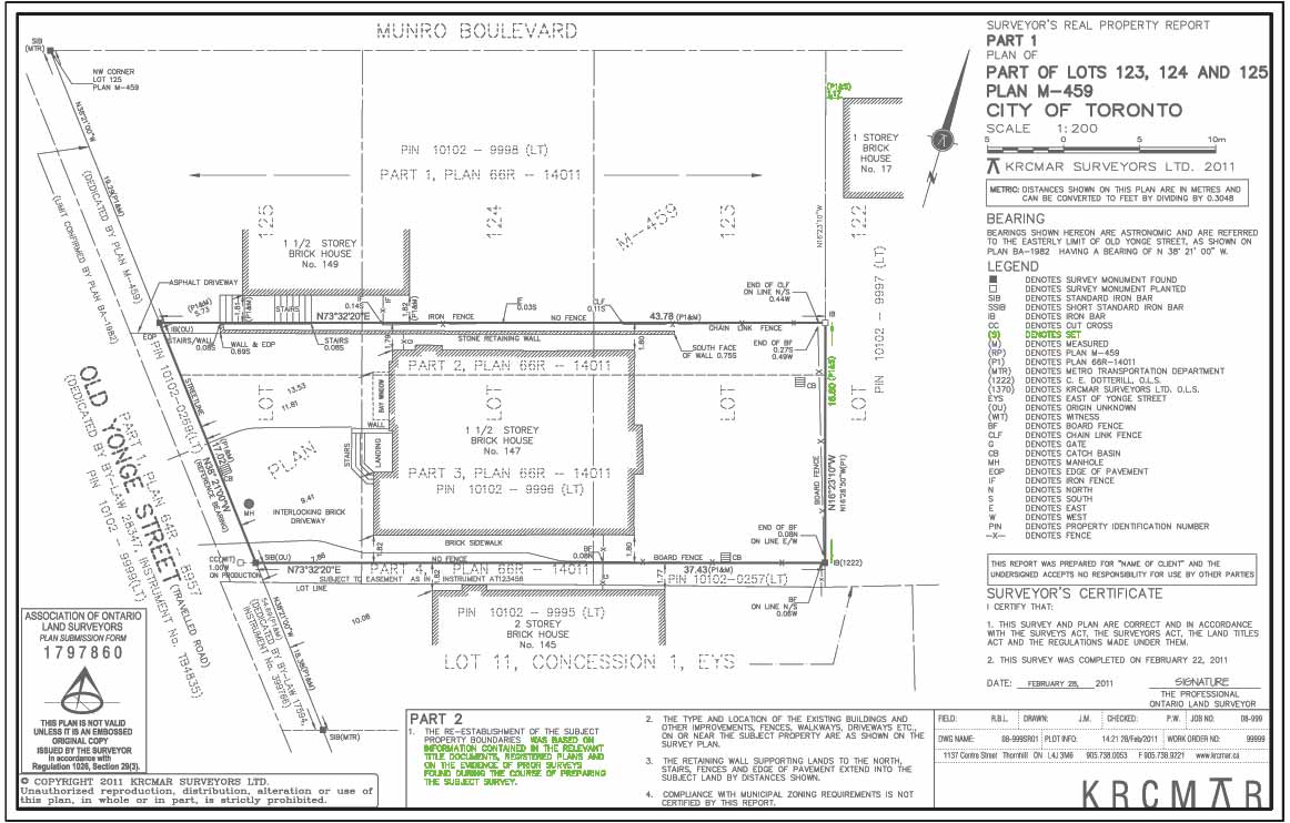
(S) - Set a Boundary Corner
Description
A term used in the method of boundary re-establishment; relates to situations where survey monuments are not found at boundary corners during the field survey. In calculating and drafting the boundary survey, a surveyor may ""set"" a distance or direction, based on an existing deed, plan, surveyor“ s field notes, or other documentary evidence to re-establish the boundary line. This ""set"" distance/direction is shown on the plan and references and credits the origin source. Used in conjunction with the ""measured"" method. Where a point has been set from a known location there is usually a confirming measurement meade to third point. This is in accordance with Generally Accepted Survey Principles. Note: The ""S"" abbreviation for ""set"" should not be confused with the ""S"" also used to indicate ""south"".
Purpose
Defines the method by which boundary was re-established, to compensate when lacking physical monuments at boundary corners, angles, curves or bends.
Why is this important?
Usually means there is a lack of boundary markers in the ground and previous dimensions must be relied upon to "set" and re-establish the boundary points.
Video
Protect Your Boundaries Inc. is a licensed member of the Association of Ontario Land Surveyors, and is entitled to provide cadastral surveying services to the public of the Province of Ontario in accordance with the provisions of the Surveyors Act R.S.O. 1990, Chapter S29.