Reference Plan
Description
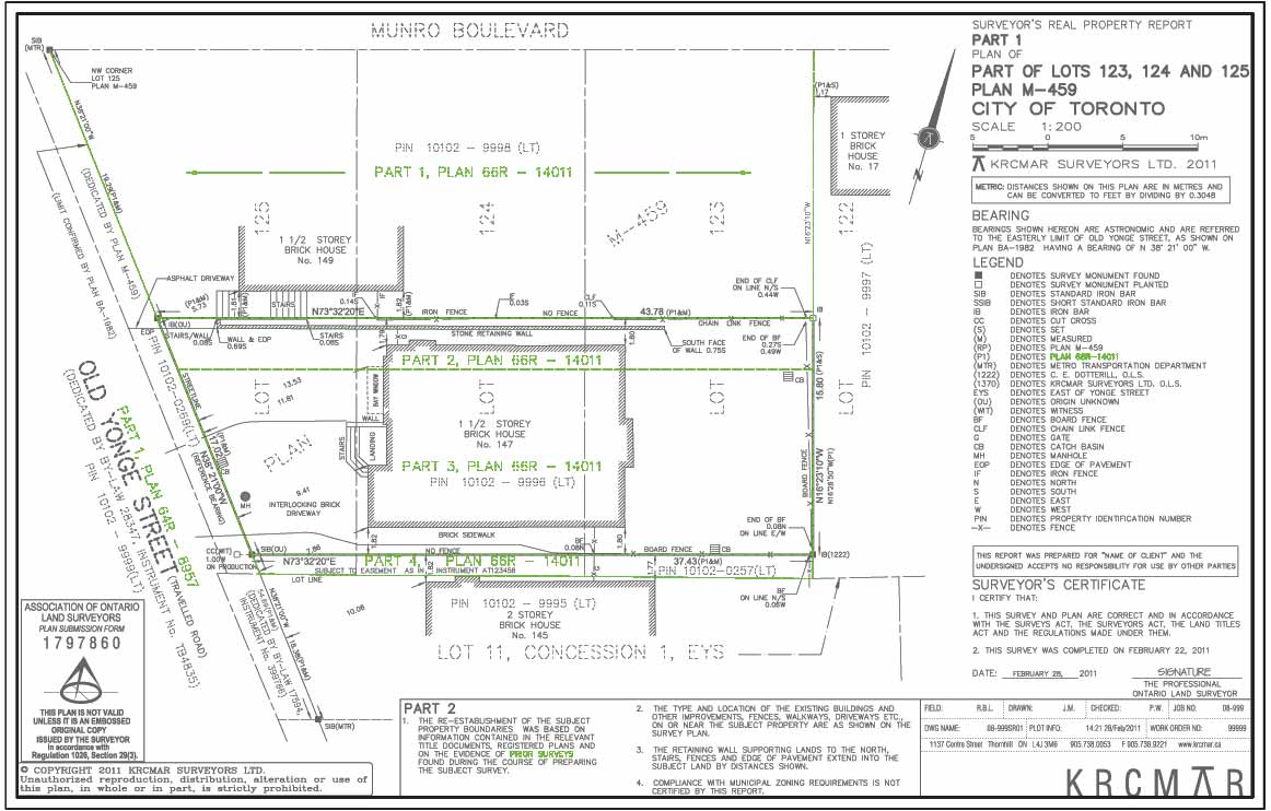
Reference Plans, or "R-Plans", (not to be confused with Registered Plans) are diagrammatic representations of property ownership. In Ontario, they were introduced during the 1960's to replace the centuries-old method of describing the extent of land ownership using written deed descriptions or "metes and bounds". These parcels of land, or "Parts" are numbered so that each piece of land can be easily and definitively identified. Reference plans are identified by a unique number (R-Plan number), assigned by the local land registry office at the time of filing. This R-Plan number is written on the upper right hand corner of the actual original plan. The R-Plan number consists of three elements: - Registry Office Designator (66) identifying which registry office the plan was deposited in; - Plan Type (R) for Reference Plan (as opposed to "M" for subdivision plan); - Numeric ID (14738) representing the unique identifier of the plan in that registry office; taken together as: Plan 66R-14738. With this identifier, Part Numbers (Part 1, Part 2 etc.) are used to identify specific pieces of land on the survey plan. Although deposited and filed at the land registry office, R-Plans are not considered official "underlying lot fabric". They are, however, an indispensable tool in determining and understanding the physical location and extent of a parcel of land or an easement over it. The R-Plan, as compared to historic "metes and bounds" written descriptions, proves the old adage that “ a picture is worth a thousand words“ .
Purpose
Orients the subject property to the underlying "fabric" of land ownership.
Why is this important?
Provides the simplified legal description of your property in the form of a survey plan.
Protect Your Boundaries Inc. is a licensed member of the Association of Ontario Land Surveyors, and is entitled to provide cadastral surveying services to the public of the Province of Ontario in accordance with the provisions of the Surveyors Act R.S.O. 1990, Chapter S29.