What’s in a Name? Unveiling the Meanings Behind Lane Names.

In the City of Toronto, every street and lane tell a story of their own and historic surveys stand as a silent witness to the city’s evolution. Surveys offer a unique look into the past, revealing a snapshot of the landscape at a specific point in time. In this article, we will look at laneways and historic surveys to highlight Toronto’s rich history and resilience in infrastructure.
Laneways, often devoid of traffic and lacking elaborate artistic or architectural designs, serve as hidden gems where the city's history comes to life. With thought-provoking names that playfully address the history and culture of their neighbourhood, it hard not to wonder about the people and interactions that once took place in these districts.
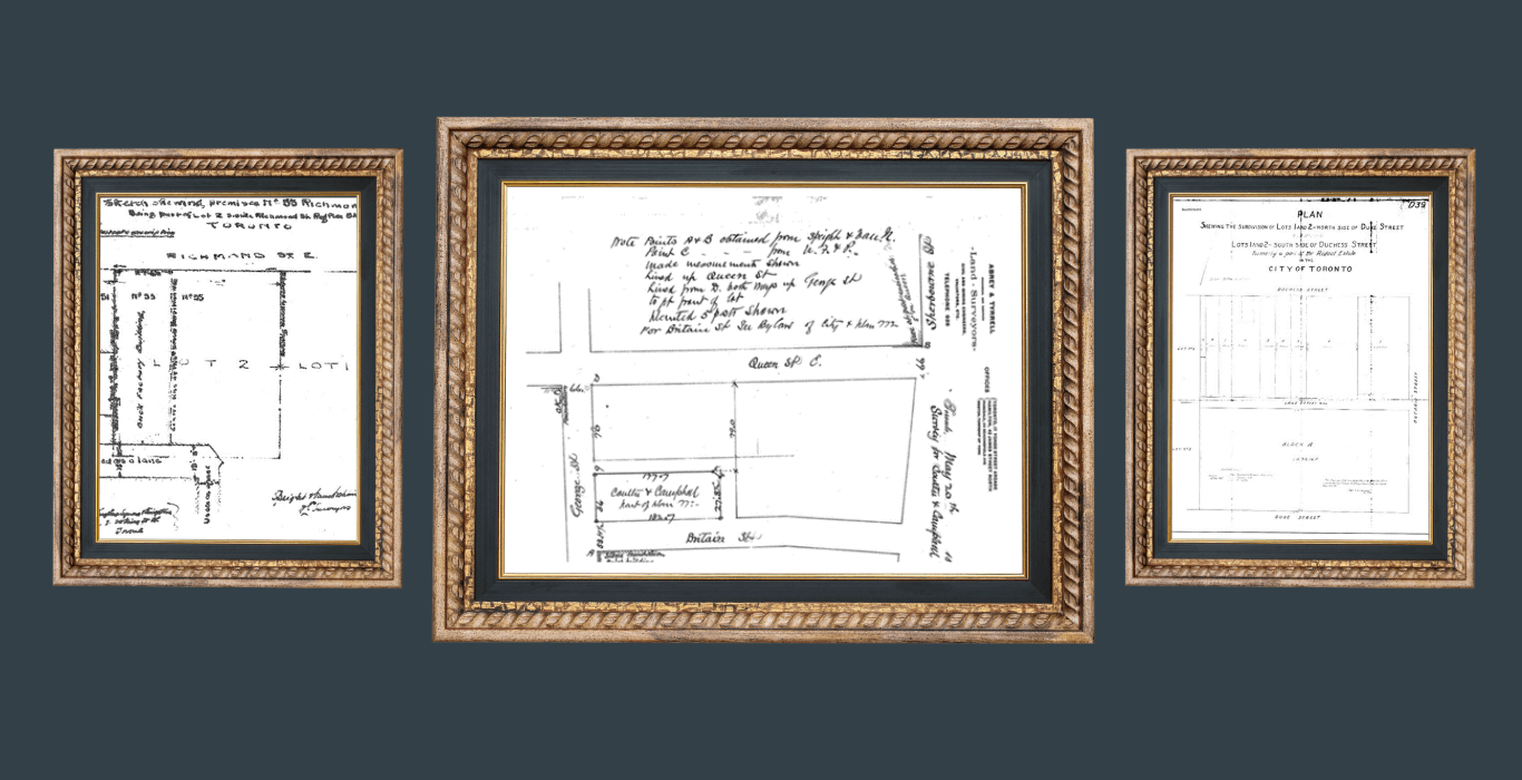
We will look at four lane ways and briefly uncover the stories that have shaped their names and have look at some historic survey plans that illustrate how remarkably unchanged their layouts have remained over time.
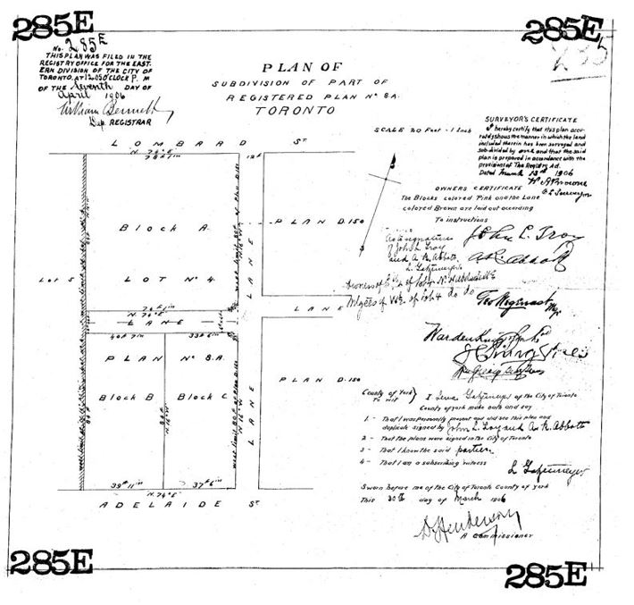
Spice Mill Lane
This flavorful lane, running between Adelaide and Lombard Street, pays tribute to the spice mills that once thrived in this area during the late 19th century. These mills, including Todhunter, Mitchell & Company and Thompson, Bradshaw & Co., provided specialty goods like spices, coffee, tea, chocolate, extracts, and baking essentials.
Theses spice mills played an integral role in Toronto’s culinary landscape providing a kick of flavour in homes and restaurants around the city.
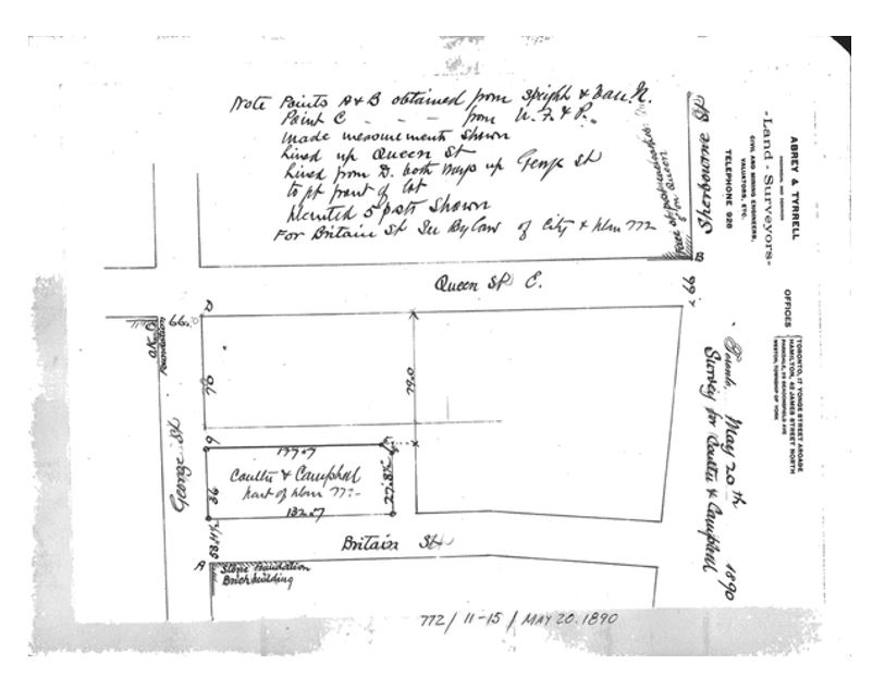
Barbed Wire Lane
This lane runs adjacent to the historic location of the Ontario Lead and Barbed Wire Company. The name “Barbed Wire Lane” commemorates the industrial heritage of the land that was used to produce lead products and fencing materials.
The company was founded by Louis Samuel, one of Canada earliest industrialists, who actively participated in expanding the Canadian economy. The Ontario Lead and Barbed Wire Company operated out of the Richmond/Lombard Street location from 1885 to 1910.

Bootlegger Lane
This unlawful name is a nod to a local resident of the area who participated in the illicit distribution of alcohol during the Ontario Temperance Act (prohibition) from 1916 – 1927.
Prohibition ultimately failed due to public opposition and the government's inability to control the distribution and sale of alcohol. Additionally, the government recognized that prohibition deprived them of significant tax revenue. As a solution, they introduced the Liquor Control Board of Ontario (LCBO) to responsibly manage alcohol sales and collect tax revenue from every transaction.
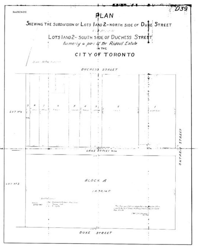
Gendron Lane
Named after the renowned and historic Gendron Manufacturing Company Building at 411 Richmond Street East, this lane celebrates the legacy of one of Canada's longest-standing manufacturers. Producing wheelchairs, canework goods, toy carriages, and wheeled toys from the 1890s to the 1970s, the Gendron Company left a lasting mark on Canadian industry.
Historic lane surveys provide a glimpse into the past, revealing both changes and surviving aspects of the landscape. In the case of these laneways, their layouts have largely remained unchanged, which underscores their consistency in a city where change is a constant.
While some of the buildings have adapted to modern needs, these survey plans illustrate how, not only the laneways, but the city itself has endured the test of time, demonstrating resilience in its urban infrastructure.


Protect Your Boundaries Inc. is a licensed member of the Association of Ontario Land Surveyors, and is entitled to provide cadastral surveying services to the public of the Province of Ontario in accordance with the provisions of the Surveyors Act R.S.O. 1990, Chapter S29.